

BEDROCK GEOLOGIC SPRING VALLEY, MO
$18.00
Available

Product Details
- Product Number
- 402134
- Series
- SIM-3280
- Scale
- 1:100,000
- Alternate ID
- SIM-3280
- ISBN
- 978-1-4113-3726-8
- Authors
- ROBERT E WEEMS
- Version Date
- 01/01/2014
- Regions
- MO
- Countries
- USA
- Media
- Paper
- Format
- Folded
Additional Details
- Description
-
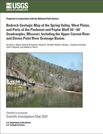
Prepared in cooperation with the National Park Service
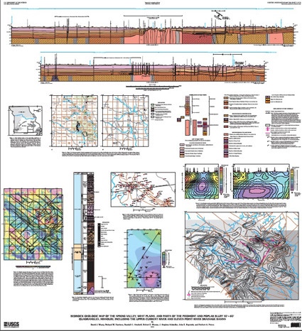
Bedrock Geologic Map of the Spring Valley, West Plains, and Parts of the Piedmont and Poplar Bluff 30'X60' Quadrangles, Missouri, Including the Upper Current River and Eleven Point River Drainage Basins.
- Print Date
- 2014
- Two Sided
- No
- Pieces
- 3
- Languages
- English
Related Items

Prepared in cooperation with the National Park Service <p> <p> Geologic Map of the Great Sand Dunes National Park, Colorado <p>

Prepared in cooperation with the National Park Service <p> <p> Geologic Map of Chickasaw National Recreation Area, Murray County, Oklahoma <p>

Prepared in cooperation with the National Park Service <p> <p> Geologic Map of the Great Smoky Mountains National Park Region, Tennessee and North Carolina <p>