
Added POTENTIOMETRIC SURFACE BENNETT CTY, SD to cart. View cart.


Product Details
- Product Number
- 208265
- Series
- SIM-2993
- Scale
- 1:125,000
- Alternate ID
- SIM2993
- ISBN
- 978-0-607-92301-8
- Authors
- JANET CARTER M
- Version Date
- 01/01/2007
- Regions
- SD
- Countries
- USA
- Media
- Paper
- Format
- Folded
Additional Details
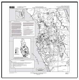
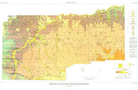
- Description
- Generalized Potentiometric Surface of the Arikaree Aquifer, Pine Ridge Indian Reservation and Bennett County, South Dakota
- Survey Date
- 2007
- Print Date
- 2007
- Height In Inches
- 36.000
- Length In Inches
- 50.000
- Boundary Type
- Quadrangle
- Two Sided
- No
- Pieces
- 2
- Languages
- English
Related Items
Potentiometric Surface in the Central Oklahoma (Garber-Wellington) Aquifer, Oklahoma, 2009
Potentiometric Surface of the Upper Floridan aquifer, West-Central Florida, May 2009
Hydrogeology of the Pine Ridge Indian Reservation, South Dakota