


Product Details
- Product Number
- 28861
- Series
- I-2690
- Scale
- NO SCALE
- Alternate ID
- GI2690D
- ISBN
- 978-0-607-93069-6
- Authors
- KELLOGG, K. S.
- Version Date
- 01/01/2000
- Regions
- WY
- Countries
- USA
- Media
- Paper
- Format
- Folded
Additional Details
- Description
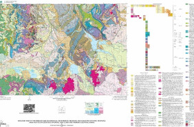
- Geologic map of the Ennis 30' x 60' quadrangle, Madison and Gallatin Counties, Montana, and Park County, Wyoming
- Survey Date
- 1999
- Print Date
- 1999
- Boundary Type
- Quadrangle
- Two Sided
- No
- Pieces
- 1
- Languages
- English
Related Items

Geologic map of the Pilot Peak Quadrangle, Park County, Wyoming
Geologic map of the Hebgen lake quadrangle, Beaverhead, Madison, and Gallatin counties, Montana, Park and Teton counties, Wyoming, and Clark and Fremont counties, Idaho