

Product Details
- Product Number
- 26672
- Series
- I-816
- Scale
- 1:62,500
- Alternate ID
- GI0816D
- ISBN
- 978-0-607-77712-3
- Authors
- NELSON, W. H.
- Version Date
- 01/01/1973
- Regions
- WY
- Countries
- USA
- Media
- Paper
- Format
- Flat
- Digital Reproduction
- Yes
Additional Details
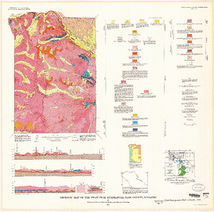
- Description
- Geologic map of the Pilot Peak Quadrangle, Park County, Wyoming
- Survey Date
- 1973
- Print Date
- 1973
- Height In Inches
- 32.250
- Length In Inches
- 32.680
- Boundary Type
- Quadrangle
- Two Sided
- No
- Pieces
- 1
- Languages
- English
Related Items

Surficial geologic map of the Eagle Peak Quadrangle, Yellowstone National Park and adjoining area, Wyoming

Geologic map of the Ennis 30' x 60' quadrangle, Madison and Gallatin Counties, Montana, and Park County, Wyoming