

Product Details
- Product Number
- 116092
- Series
- SIM-2816
- Scale
- 1:100,000
- Alternate ID
- SIM2816
- ISBN
- 978-0-607-96777-7
- Authors
- CHRISTIANSEN, ROBERT L.
- Version Date
- 01/01/2004
- Regions
- ID, MT, WY
- Countries
- USA
- Media
- Paper
- Format
- Flat
- Digital Reproduction
- Yes
Additional Details
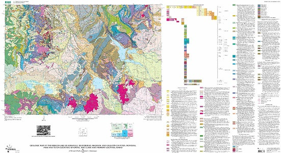
- Description
- Geologic map of the Hebgen lake quadrangle, Beaverhead, Madison, and Gallatin counties, Montana, Park and Teton counties, Wyoming, and Clark and Fremont counties, Idaho
- Survey Date
- 2004
- Print Date
- 2004
- Height In Inches
- 30.490
- Length In Inches
- 56.000
- Boundary Type
- Quadrangle
- Two Sided
- No
- Pieces
- 1
- Languages
- English
Related Items

Geologic map of the Ennis 30' x 60' quadrangle, Madison and Gallatin Counties, Montana, and Park County, Wyoming
Geologic map of the southern part of the lower Red Rock Lake Quadrangle Beaverhead and Madison counties, Montana, and Clark County, Idaho
Geologic map of the Pintlar Lake quadrangle, Beaverhead and Deer Lodge Counties, Montana