Added DULCE DRAW, NM to cart. View cart.


CHICOT EQUIVALENT AQUIFER SE LOUISIANA
Product Details
- Product Number
- 331974
- Series
- SIM-3173
- Scale
- NO SCALE
- Alternate ID
- SIM3173
- ISBN
- 978-1-4113-3302-4
- Authors
- DAN J TOMASZEWSKI
- Version Date
- 01/01/2011
- Regions
- LA
- Countries
- USA
- Media
- Paper
- Format
- Flat
Additional Details
- Description
-
Abstract
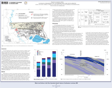
The Chicot equivalent aquifer system is an important source of freshwater in southeastern Louisiana. In 2005, about 47 million gallons per day (Mgal/d) were withdrawn from the Chicot equivalent aquifer system in East Baton Rouge, East Feliciana, Livingston, Tangipahoa, St. Helena, St. Tammany, Washington, and West Feliciana Parishes. Concentrated withdrawals exceeded 5 Mgal/d in Bogalusa, the city of Baton Rouge, and in northwestern East Baton Rouge Parish. In the study area, about 30,000 wells screened in the Chicot equivalent aquifer system were registered with the Louisiana Department of Transportation and Development (LaDOTD). These wells were constructed for public-supply, industry, irrigation, and domestic uses. Most of the wells were registered as domestic-use wells and are small-diameter, low-yielding wells. Total withdrawal from the Chicot equivalent aquifer system for domestic use was estimated to be 12 Mgal/d in 2005.
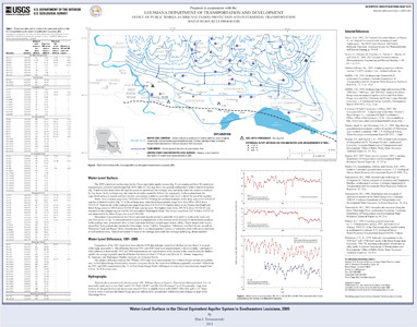
This report documents the 2009 water-level surface of the Chicot equivalent aquifer system in southeastern Louisiana. The report also shows differences in water-level measurements for the years 1991 and 2009 at selected sites. Understanding changes and trends in water levels is important for continued use, planning, and management of groundwater resources. The U.S. Geological Survey, in cooperation with the Louisiana Department of Transportation and Development, conducted this study of the water-level surface of the Chicot equivalent aquifer system as part of an ongoing effort to monitor groundwater levels in aquifers in Louisiana.
- Height In Inches
- 27.000
- Length In Inches
- 34.000
- Two Sided
- No
- Pieces
- 2
- Languages
- English


