


Product Details
- Product Number
- 24480
- Series
- GQ-1401
- Scale
- 1:24,000
- Alternate ID
- GGQ1401D
- ISBN
- 978-0-607-75429-2
- Authors
- HANSEN, WALLACE R.
- Version Date
- 01/01/1977
- Regions
- CO, UT
- Countries
- USA
- Media
- Paper
- Format
- Folded
Additional Details
- Description
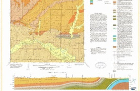
- Geologic map of the Jones Hole quadrangle, Uinta County, Utah, and Moffat County, Colorado
- Survey Date
- 1975
- Print Date
- 1977
- Boundary Type
- Quadrangle
- Two Sided
- No
- Pieces
- 1
- Languages
- English
Related Items
Geologic map of the Maybell quadrangle, Moffat County, Colorado