
- Added DIVIDE LAKE, WY-MT HISTORICAL MAP GEOPDF to cart. View cart.
- Added ELECTRA, TX to cart. View cart.
- Added SONORA PASS, CA to cart. View cart.
- Added DANA RANCH, MT to cart. View cart.
- Added PORT HOPE, MI to cart. View cart.
- Added FORT CRAIG, NM to cart. View cart.
- Added POY SIPPI, WI HISTORICAL MAP GEOPDF 15X1 to cart. View cart.
- Added BURLINGTON, CO-KS HISTORICAL MAP GEOPDF to cart. View cart.
- Added HILLSBORO, NM to cart. View cart.
- Added SOUTHWEST MEMPHIS, TN-AR HISTORICAL MAP to cart. View cart.
- Added BLAIRSVILLE, PA to cart. View cart.
- Added HARRELLSVILLE, NC HISTORICAL MAP GEOPDF to cart. View cart.
- Added SPENCER, TN to cart. View cart.
- Added PATTERSON, VA-WV to cart. View cart.
- Added MEREDOSIA, IL HISTORICAL MAP GEOPDF 30X6 to cart. View cart.
- Added PORT CLINTON, OH to cart. View cart.
- Added PARRISH, WI to cart. View cart.
- Added THOMPSON KNOLL, UT HISTORICAL MAP GEOPDF to cart. View cart.

Product Details
- Product Number
- 919216
- Scale
- 1:24,000
- Version Date
- 01/01/1952
- Regions
- UT
- Countries
- USA
- Media
- Paper
- Format
- Flat
- Digital Reproduction
- Yes
Additional Details
- Description
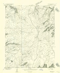
- THE KNOLL, UT HISTORICAL MAP GEOPDF 7.5X7.5 GRID 24000-SCALE 1952
- Survey Date
- 1952
- Print Date
- 1954
- Boundary Type
- Quadrangle
- Pieces
- 1
Related Items

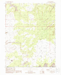
THE KNOLL, UT HISTORICAL MAP GEOPDF 7.5X7.5 GRID 24000-SCALE 1988
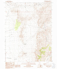
THOMPSON KNOLL, UT HISTORICAL MAP GEOPDF 7.5X7.5 GRID 24000-SCALE 1991