
- Added KEENAN, TX to cart. View cart.
- Added TARKIO WEST, MO to cart. View cart.
- Added CANAL WINCHESTER, OH to cart. View cart.
- Added SNOW CREEK, VA to cart. View cart.
- Added CAPE VINCENT SOUTH, NY to cart. View cart.
- Added TAMOLITCH FALLS, OR HISTORICAL MAP GEOPD to cart. View cart.
- Added PASADENA, CA to cart. View cart.
- Added TOUTLE, WA to cart. View cart.
- Added FORT MILL, SC-NC HISTORICAL MAP GEOPDF 7 to cart. View cart.
- Added PAPOOSE LAKE, NV HISTORICAL MAP GEOPDF 7 to cart. View cart.
- Added ROUNDHEAD, OH HISTORICAL MAP GEOPDF 7.5X to cart. View cart.

Product Details
- Product Number
- 898784
- Scale
- 1:24,000
- Version Date
- 01/01/1960
- Regions
- OH
- Countries
- USA
- Media
- Paper
- Format
- Flat
- Digital Reproduction
- Yes
Additional Details
- Description
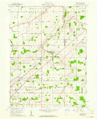
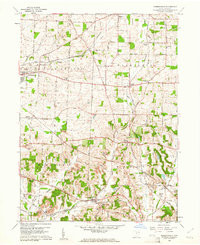
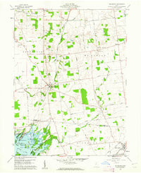
- RAWSON, OH HISTORICAL MAP GEOPDF 7.5X7.5 GRID 24000-SCALE 1960
- Survey Date
- 1960
- Print Date
- 1961
- Boundary Type
- Quadrangle
- Pieces
- 1
Related Items
ROBERTSVILLE, OH HISTORICAL MAP GEOPDF 7.5X7.5 GRID 24000-SCALE 1960
ROUNDHEAD, OH HISTORICAL MAP GEOPDF 7.5X7.5 GRID 24000-SCALE 1960

ROCKFORD, OH HISTORICAL MAP GEOPDF 7.5X7.5 GRID 24000-SCALE 1960