
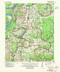
Added CLAYTON, MS-AR HISTORICAL MAP GEOPDF 15X to cart. View cart.

Product Details
- Product Number
- 876524
- Scale
- 1:62,500
- Version Date
- 01/01/1939
- Media
- Paper
- Format
- Flat
- Digital Reproduction
- Yes
Additional Details
- Description
- CLAYTON, MS-AR HISTORICAL MAP GEOPDF 15X15 GRID 62500-SCALE 1939
- Survey Date
- 1939
- Print Date
- 1954
- Boundary Type
- Quadrangle
- Pieces
- 1
Related Items
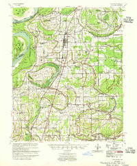
CLAYTON, MS-AR HISTORICAL MAP GEOPDF 15X15 GRID 62500-SCALE 1955
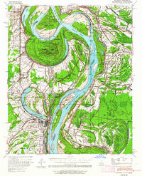
MAYERSVILLE, MS-LA HISTORICAL MAP GEOPDF 15X15 GRID 62500-SCALE 1939
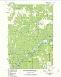
LAKE CLAYTON, MN-WI HISTORICAL MAP GEOPDF 7.5X7.5 GRID 24000-SCALE 1982