
Added WEST POINT, MS-AL to cart. View cart.

Product Details
- Product Number
- 71014
- Scale
- 1:250,000
- Alternate ID
- TMS0996
- ISBN
- 978-0-607-29560-3
- Version Date
- 01/01/1970
- Regions
- MS
- Countries
- USA
- Media
- Paper
- Format
- Flat
- Digital Reproduction
- Yes
Additional Details
- Description
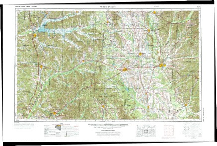
- WEST POINT, MS
- Survey Date
- 1970
- Print Date
- 1978
- Boundary Type
- Quadrangle
- Two Sided
- No
- Pieces
- 1
- Languages
- English
Related Items
