
- Added DIVIDE LAKE, WY-MT HISTORICAL MAP GEOPDF to cart. View cart.
- Added ELECTRA, TX to cart. View cart.
- Added SONORA PASS, CA to cart. View cart.
- Added DANA RANCH, MT to cart. View cart.
- Added PORT HOPE, MI to cart. View cart.
- Added FORT CRAIG, NM to cart. View cart.
- Added POY SIPPI, WI HISTORICAL MAP GEOPDF 15X1 to cart. View cart.
- Added BURLINGTON, CO-KS HISTORICAL MAP GEOPDF to cart. View cart.
- Added HILLSBORO, NM to cart. View cart.
- Added SOUTHWEST MEMPHIS, TN-AR HISTORICAL MAP to cart. View cart.
- Added BLAIRSVILLE, PA to cart. View cart.
- Added HARRELLSVILLE, NC HISTORICAL MAP GEOPDF to cart. View cart.
- Added SPENCER, TN to cart. View cart.
- Added PATTERSON, VA-WV to cart. View cart.
- Added MEREDOSIA, IL HISTORICAL MAP GEOPDF 30X6 to cart. View cart.
- Added PORT CLINTON, OH to cart. View cart.


Product Details
- Product Number
- 86295
- Scale
- 1:24,000
- Alternate ID
- TOH0554
- ISBN
- 978-0-607-42592-5
- Version Date
- 01/01/1969
- Regions
- OH
- Countries
- USA
- Media
- Paper
- Format
- Flat
- Digital Reproduction
- Yes
Additional Details
- Description
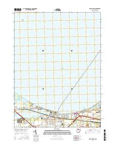
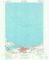
- PORT CLINTON, OH HISTORICAL MAP GEOPDF 7.5X7.5 GRID 24000-SCALE 1969
- Survey Date
- 1969
- Print Date
- 1971
- Height In Inches
- 27.000
- Length In Inches
- 22.100
- Boundary Type
- Quadrangle
- Two Sided
- No
- Pieces
- 1
- Languages
- English
Related Items
PORT CLINTON, OH HISTORICAL MAP GEOPDF 7.5X7.5 GRID 24000-SCALE 1969
