- Added HOWARD HOT SPRING, NV HISTORICAL MAP GEO to cart. View cart.
- Added OLD RAG MOUNTAIN, VA to cart. View cart.
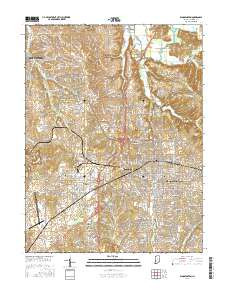
- Added SPRINGDALE, AR to cart. View cart.
- Added BOZ, TX HISTORICAL MAP GEOPDF 7.5X7.5 GR to cart. View cart.
- Added SALUDA SOUTH, SC to cart. View cart.
- Added ERIE NORTH, PA to cart. View cart.
- Added LOST HORSE PEAK, AZ to cart. View cart.
- Added DE WITT NE, AR to cart. View cart.
- Added MALONE, NY to cart. View cart.
- Added DELTA, PA-MD to cart. View cart.
- Added KUSSHI CREEK, WA to cart. View cart.
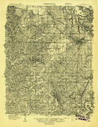
- Added BLOOMINGTON, IN to cart. View cart.

Product Details
- Product Number
- 860361
- Scale
- 1:48,000
- Version Date
- 01/01/1908
- Regions
- IN
- Countries
- USA
- Media
- Paper
- Format
- Flat
- Digital Reproduction
- Yes
Additional Details
- Description
- BLOOMINGTON, IN HISTORICAL MAP GEOPDF 15X15 GRID 48000-SCALE 1908
- Survey Date
- 1908
- Print Date
- 1908
- Boundary Type
- Quadrangle
- Pieces
- 1
Related Items
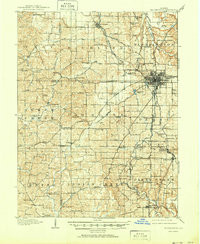
BLOOMINGTON, IN HISTORICAL MAP GEOPDF 15X15 GRID 62500-SCALE 1910