
Product Details
- Product Number
- 860360
- Scale
- 1:62,500
- Version Date
- 01/01/1910
- Regions
- IN
- Countries
- USA
- Media
- Paper
- Format
- Flat
- Digital Reproduction
- Yes
Additional Details
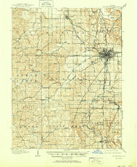
- Description
- BLOOMINGTON, IN HISTORICAL MAP GEOPDF 15X15 GRID 62500-SCALE 1910
- Survey Date
- 1910
- Print Date
- 1950
- Boundary Type
- Quadrangle
- Pieces
- 1
Related Items
BLOOMINGTON, IN HISTORICAL MAP GEOPDF 15X15 GRID 48000-SCALE 1908