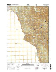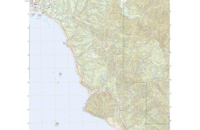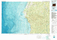

Product Details
- Product Number
- 90385
- Scale
- 1:100,000
- Alternate ID
- TOR2334
- ISBN
- 978-0-607-45958-6
- Version Date
- 01/01/1992
- Regions
- OR
- Countries
- USA
- Media
- Paper
- Format
- Flat
- Digital Reproduction
- Yes
Additional Details
- Description
- PORT ORFORD, OR HISTORICAL MAP GEOPDF 30X60 GRID 100000-SCALE 1992
- Survey Date
- 1992
- Print Date
- 1993
- Height In Inches
- 27.430
- Length In Inches
- 38.370
- Boundary Type
- Quadrangle
- Two Sided
- No
- Pieces
- 1
- Languages
- English
Related Items