Product Details
- Product Number
- 801502
- Series
- OFR-2023-1084
- Scale
- NO SCALE
- Alternate ID
- OFR-2023-1084
- ISBN
- 978-1-4113-4543-0
- Authors
- 1 KENDRA L RUSSELL
- Version Date
- 01/01/2023
- Countries
- USA
- Media
- Paper
- Format
- Bound
Additional Details
- Description
-
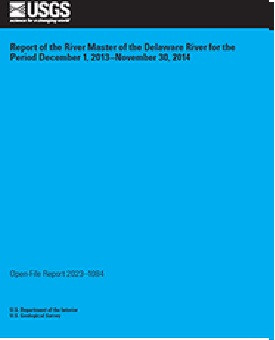
Report of the River Master of the Delaware River for the Period December 1, 2013–November 30, 2014
Open-File Report 2023-1084
Water Availability and Use Science Program
By: Kendra L. Russell, William J. Andrews, Vincent J. DiFrenna, J. Michael Norris, and Robert R. Mason, Jr.
https://doi.org/10.3133/ofr20231084
For additional information, contact:
Delaware River Master
https://webapps.usgs.gov/odrm/
Office of the Delaware River Master
U.S. Geological Survey
120 Route 209
South Milford, PA 18337
Executive Summary
A Decree of the Supreme Court of the United States, entered June 7, 1954 (New Jersey v. New York, 347 U.S. 995), established the position of Delaware River Master within the U.S. Geological Survey. In addition, the Decree authorizes the diversion of water from the Delaware River Basin and requires compensating releases from specific reservoirs owned by New York City to be made under the supervision and direction of the River Master. The Decree stipulates that the River Master provide reports to the Court, not less frequently than annually. This report is the 61st annual report of the River Master of the Delaware River. The report covers the 2014 River Master report year, which is the period from December 1, 2013, to November 30, 2014.
During the report year, precipitation in the upper Delaware River Basin was 42.40 inches or 95 percent of the long-term average. On December 1, 2013, combined useable storage in New York’s Pepacton, Cannonsville, and Neversink Reservoirs in the upper Delaware River Basin was 200.133 billion gallons or 73.9 percent of the combined capacity of 270.8 billion gallons. The reservoirs were at about 99.7 percent of usable capacity on May 31, 2014. Combined storage in the Pepacton, Cannonsville, and Neversink Reservoirs decreased below 80 percent of combined capacity in late August. The lowest combined storage was 151.730 billion gallons or 56 percent of combined capacity on November 24, 2014. Delaware River Master operations during the year were conducted as stipulated by the Decree and the Flexible Flow Management Program.
Diversions from the Delaware River Basin by New York City and the State of New Jersey fully complied with the Decree. Reservoir releases were made as directed by the River Master at rates designed to meet the flow objective for the Delaware River at Montague, New Jersey, on 94 days during the report year. Interim Excess Release Quantity and conservation releases, designed to relieve thermal stress and protect the fishery and aquatic habitat in the tailwaters of the reservoirs, were also made during the report year.
Water quality in the Delaware River estuary between streamgages at Trenton, New Jersey, and Reedy Island Jetty, Delaware, was monitored at several locations. Data on water temperature, specific conductance, dissolved oxygen, and pH were collected continuously by electronic instruments at four locations.
- Height In Inches
- 11.000
- Length In Inches
- 8.500
- Two Sided
- Yes
- Pieces
- 1


