


Product Details
- Product Number
- 75502
- Scale
- 1:100,000
- Alternate ID
- TNC1103
- ISBN
- 978-0-607-33520-0
- Version Date
- 01/01/1983
- Regions
- NC, SC
- Countries
- USA
- Media
- Paper
- Format
- Flat
- Digital Reproduction
- Yes
Additional Details
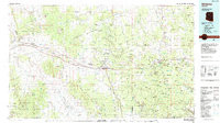
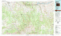
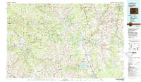
- Description
- LAURINBURG, NC-SC HISTORICAL MAP GEOPDF 30X60 GRID 100000-SCALE 1983
- Survey Date
- 1983
- Print Date
- 1984
- Height In Inches
- 24.100
- Length In Inches
- 42.000
- Boundary Type
- Quadrangle
- Two Sided
- No
- Pieces
- 1
- Languages
- English
Related Items
WILLIAMS, AZ HISTORICAL MAP GEOPDF 30X60 GRID 100000-SCALE 1983
MONTROSE, CO HISTORICAL MAP GEOPDF 30X60 GRID 100000-SCALE 1983
LEADVILLE, CO HISTORICAL MAP GEOPDF 30X60 GRID 100000-SCALE 1983