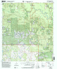
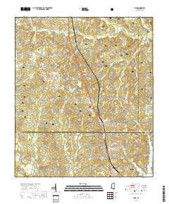
Product Details
- Product Number
- 70836
- Scale
- 1:24,000
- Alternate ID
- TMS0813
- ISBN
- 978-0-607-99797-2
- Version Date
- 01/01/2000
- Regions
- MS
- Countries
- USA
- Media
- Paper
- Format
- Flat
Additional Details
- Description
- BOND, MS HISTORICAL MAP GEOPDF 7.5X7.5 GRID 24000-SCALE 2000
- Survey Date
- 2000
- Print Date
- 2002
- Height In Inches
- 27.000
- Length In Inches
- 21.750
- Boundary Type
- Quadrangle
- Two Sided
- No
- Pieces
- 1
Related Items