Product Details
- Product Number
- 68441
- Scale
- 1:100,000
- Alternate ID
- TMN2057
- ISBN
- 978-0-607-27523-0
- Version Date
- 01/01/1991
- Regions
- MN, WI
- Countries
- USA
- Media
- Paper
- Format
- Flat
- Digital Reproduction
- Yes
Additional Details
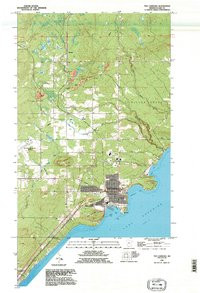
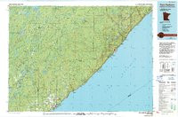
- Description
- TWO HARBORS, MN-WI HISTORICAL MAP GEOPDF 30X60 GRID 100000-SCALE 1976
- Survey Date
- 1976
- Print Date
- 1994
- Height In Inches
- 24.320
- Length In Inches
- 36.880
- Boundary Type
- Quadrangle
- Two Sided
- No
- Pieces
- 1
- Languages
- English
Related Items

TWO HARBORS, MN-WI HISTORICAL MAP GEOPDF 30X60 GRID 100000-SCALE 1976