

Product Details
- Product Number
- 58190
- Scale
- 1:24,000
- Alternate ID
- TIN0631
- ISBN
- 978-0-607-20205-2
- Version Date
- 01/01/1960
- Regions
- IN, OH
- Countries
- USA
- Media
- Paper
- Format
- Flat
- Digital Reproduction
- Yes
Additional Details
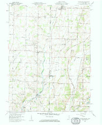
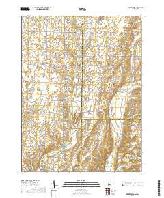
- Description
- WHITEWATER, IN-OH HISTORICAL MAP GEOPDF 7.5X7.5 GRID 24000-SCALE 1960
- Survey Date
- 1960
- Print Date
- 1961
- Height In Inches
- 27.000
- Length In Inches
- 22.100
- Boundary Type
- Quadrangle
- Two Sided
- No
- Pieces
- 1
- Languages
- English
Related Items

WILLSHIRE, OH-IN HISTORICAL MAP GEOPDF 7.5X7.5 GRID 24000-SCALE 1960
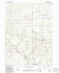
WREN, OH-IN HISTORICAL MAP GEOPDF 7.5X7.5 GRID 24000-SCALE 1960