Product Details
- Product Number
- 534162
- Series
- FS-2022-3071
- Scale
- NO SCALE
- Alternate ID
- FS-2022-3071
- Authors
- KYLE A PULS
- Version Date
- 07/01/2022
- Regions
- KS
- Countries
- USA
- Media
- WEB ONLY
- Format
- WEB ONLY
Additional Details
- Description
-
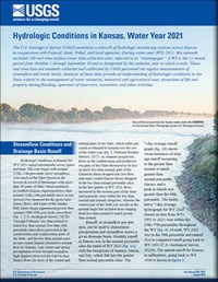
Hydrologic Conditions in Kansas, Water Year 2021
This product is not available for order, it can only be downloaded from here (click on image) or within the Publications Warehouse at https://pubs.er.usgs.gov/publication/fs20223071
First posted August 19, 2022
For additional information, contact:
Director, Kansas Water Science Center
https://www.usgs.gov/centers/kswsc
U.S. Geological Survey
1217 Biltmore Drive
Lawrence, KS 66049
Abstract
The U.S. Geological Survey maintains a network of hydrologic monitoring stations across Kansas in cooperation with Federal, State, Tribal, and local agencies. During water year 2021, this network included 230 real-time surface water data collection sites, referred to as “streamgages.” A water year is the 12-month period from October 1 through September 30 and is designated by the calendar year in which it ends. These real-time data are routinely collected and calibrated by U.S. Geological Survey personnel via regular measurements of streamflow and water levels. Analyses of these data provide an understanding of hydrologic conditions in the State critical to the management of water resources, industrial and agricultural uses, protection of life and property during flooding, operation of reservoirs, recreation, and other activities.
- Survey Date
- 2022
- Print Date
- 2022
- Height In Inches
- 11.000
- Length In Inches
- 8.500
- Languages
- English


