
Product Details
- Product Number
- 534147
- Series
- FS-2022-3028
- Scale
- NO SCALE
- Alternate ID
- FS-2022-3028
- Authors
- DAVID P LESMES
- Version Date
- 05/01/2022
- Countries
- USA
- Media
- WEB ONLY
- Format
- WEB ONLY
Additional Details
- Description
-
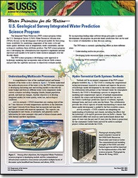
Water Priorities for the Nation
U.S. Geological Survey Integrated Water Prediction Science Program
This product is not available for order, it can only be downloaded from here (click on image) or within the Publications Warehouse at https://pubs.er.usgs.gov/publication/fs20223028
First posted May 3, 2022
For additional information, contact: Water Resources Mission Area U.S. Geological Survey 12201 Sunrise Valley Drive Reston, VA 20192
Abstract
The U.S. Geological Survey Integrated Water Prediction science program focuses on the development of advanced models for forecasting water use and other components of the water cycle along with water quality attributes such as temperature, water constituents, and ecological conditions. The program also is developing the cyberinfrastructure equired to implement national and local-scale models to be used by water resource managers over the decades ahead.
- Survey Date
- 2022
- Print Date
- 2022
- Height In Inches
- 11.000
- Length In Inches
- 8.500
- Languages
- English