

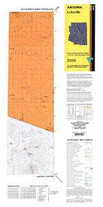
Product Details
- Product Number
- 43127
- Scale
- 1:100,000
- Alternate ID
- TAZ2744
- ISBN
- 978-0-607-08207-4
- Version Date
- 01/01/1994
- Regions
- AZ, SON
- Countries
- Mexico
- Media
- Paper
- Format
- Flat
- Digital Reproduction
- Yes
Additional Details
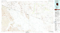
- Description
- LUKEVILLE, AZ HISTORICAL MAP GEOPDF 30X60 GRID 100000-SCALE 1994
- Survey Date
- 1994
- Print Date
- 1994
- Height In Inches
- 24.100
- Length In Inches
- 43.500
- Boundary Type
- Quadrangle
- Two Sided
- No
- Pieces
- 1
- Languages
- English
Related Items

LUKEVILLE, AZ HISTORICAL MAP GEOPDF 30X60 GRID 100000-SCALE 1994

1:100 000 SCALE TOPOGRAPHIC MAP OF SMOKY MOUNTAIN, UTAH-AZ SURFACE MANAGEMENT STATUS