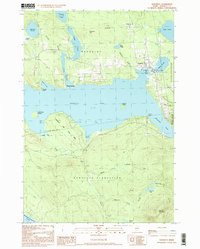
Product Details
- Product Number
- 365278
- Scale
- 1:62,500
- Version Date
- 01/01/1933
- Regions
- ME
- Countries
- USA
- Media
- Paper
- Format
- Flat
Additional Details
- Description
- RANGELEY, ME HISTORICAL MAP GEOPDF 15X15 GRID 62500-SCALE 1933
- Survey Date
- 1933
- Print Date
- 1941
- Height In Inches
- 21.870
- Length In Inches
- 17.930
- Boundary Type
- Quadrangle
- Pieces
- 1
Related Items