Product Details
- Product Number
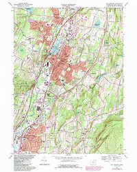
- 351824
- Scale
- 1:31,680
- Version Date
- 01/01/1954
- Regions
- CT
- Countries
- USA
- Media
- Paper
- Format
- Flat
Additional Details
- Description
- WALLINGFORD, CT HISTORICAL MAP GEOPDF 7.5X7.5 GRID 31680-SCALE 1954
- Survey Date
- 1954
- Print Date
- 1956
- Height In Inches
- 20.700
- Length In Inches
- 15.400
- Boundary Type
- Quadrangle
- Pieces
- 1
Related Items
Aeromagnetic map of the Wallingford Quadrangle, New Haven County, Connecticut