


Product Details
- Product Number
- 319477
- Series
- FS-2011-3141
- Scale
- NO SCALE
- Alternate ID
- FS-2011-3141
- Authors
- SALLY HOLL
- Version Date
- 12/01/2011
- Countries
- USA
- Media
- Paper
- Format
- Flat
Additional Details
- Description
- Abstract U.S. Geological Survey (USGS) data resources are so vast that many scientists are unaware of data holdings that may be directly relevant to their research. Data are also difficult to access and large corporate databases, such as the National Water Information System (NWIS) that houses hydrologic data for the Nation, are challenging to use without considerable expertise and investment of time. The USGS Community for Data Integration (CDI) was established in 2009 to address data and information management issues affecting the proficiency of earth science research. A CDI workshop convened in 2009 identified common data integration needs of USGS scientists and targeted high value opportunities that might address these needs by leveraging existing projects in USGS science centers, in-kind contributions, and supplemental funding. To implement this strategy, CDI sponsored a software development project in 2010 to facilitate access and use of NWIS data with ArcGIS, a widely used Geographic Information System. The resulting software product, the NWIS Web Services Snapshot Tool for ArcGIS, is presented here.
- Survey Date
- 2011
- Print Date
- 2011
- Height In Inches
- 11.000
- Length In Inches
- 8.500
- Two Sided
- Yes
- Pieces
- 1
- Languages
- English
Related Items

Molecular Genetics at the Fort Collins Science Center </p> <font color=red> This product is not available for order, it can only be downloaded from here (click on image) or within the Publications Warehouse at http://pubs.usgs.gov/fs/2011/3091/ </p> </i> </font>
Invasive Crayfish in the Pacific Northwest <p> </p> <font color=red><i> <p> This product is not available for order, it can only be downloaded from here (click on image) or within the Publications Warehouse at http://pubs.usgs.gov/fs/2011/3132/ </p> </i> </font>
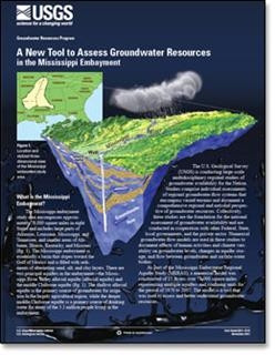
A New Tool to Assess Groundwater Resources in the Mississippi Embayment <p> </p> <font color=red><i> <p> This product is not available for order, it can only be downloaded from here (click on image) or within the Publications Warehouse at http://pubs.usgs.gov/fs/2011/3115/ </p> </i> </font>