Product Details
- Product Number
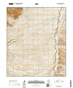
- 316327
- Scale
- 1:62,500
- Version Date
- 01/01/1940
- Regions
- AZ
- Countries
- USA
- Media
- Paper
- Format
- Flat
Additional Details
- Description
- PALO ALTO RANCH, AZ HISTORICAL MAP GEOPDF 15X15 GRID 62500-SCALE 1940
- Survey Date
- 1940
- Print Date
- 1956
- Height In Inches
- 20.800
- Length In Inches
- 17.000
- Boundary Type
- Quadrangle
- Pieces
- 1
Related Items