

Product Details
- Product Number
- 30469
- Series
- MF-1286
- Scale
- 1:24,000
- Alternate ID
- GMF1286D
- ISBN
- 978-0-607-80825-4
- Authors
- PRATT, W. P.
- Version Date
- 01/01/1981
- Regions
- MO
- Countries
- USA
- Media
- Paper
- Format
- Flat
- Digital Reproduction
- Yes
Additional Details
- Description
-
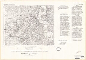
Geology and mineral resource potential of the Paddy Creek Wilderness Study Area, Texas County, Missouri
Miscellaneous Field Studies Map 1286
By: W. P. Pratt, E.L. Mosier, and Clarence Ellis
https://doi.org/10.3133/mf1286
- Survey Date
- 1979
- Print Date
- 1981
- Height In Inches
- 22.460
- Length In Inches
- 32.080
- Boundary Type
- Quadrangle
- Two Sided
- No
- Pieces
- 1
- Languages
- English
Related Items

Mineral resource potential map of the Bell Mountain Wilderness study area, Iron County, Missouri
Mineral resource potential map of the Rock Pile Mountain Wilderness Study area, Madison County, Missouri
Maps showing geology and mineral resource potential of the Wheeler Wilderness Study Area, Mineral County, Colorado