Product Details
- Product Number
- 296886
- Series
- OFR-2010-1059
- Scale
- NO SCALE
- Alternate ID
- 101059
- Authors
- PRADEEP TALWANI
- Version Date
- 01/01/2010
- Regions
- SC
- Countries
- USA
- Media
- Paper
- Format
- Flat
- Digital Reproduction
- Yes
Additional Details
- Description
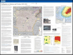
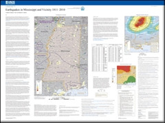
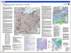
- This map summarizes more than 300 years of South Carolina earthquake history. It is one in a series of three similar State earthquake history maps. The current map and the previous two for Virginia and Ohio are accessible at http://pubs.usgs.gov/of/2006/1017/ and http://pubs.usgs.gov/of/2008/1221/. All three State earthquake maps were collaborative efforts between the U.S. Geological Survey and respective State agencies. Work on the South Carolina map was done in collaboration with the Department of Geological Sciences, University of South Carolina. As with the two previous maps, the history of South Carolina earthquakes was derived from letters, journals, diaries, newspaper accounts, academic journal articles, and, beginning in the early 20th century, instrumental recordings (seismograms). All historical (preinstrumental) earthquakes that were large enough to be felt have been located based on felt reports. Some of these events caused damage to buildings and their contents. The more recent widespread use of seismographs has allowed many smaller earthquakes, previously undetected, to be recorded and accurately located. The seismicity map shows historically located and instrumentally recorded earthquakes in and near South Carolina.
- Height In Inches
- 36.000
- Length In Inches
- 48.000
- Two Sided
- No
- Pieces
- 1
- Languages
- English
Related Items