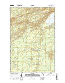
Product Details
- Product Number
- 288247
- Scale
- 1:31,680
- Version Date
- 01/01/1938
- Regions
- MI
- Countries
- USA
- Media
- Paper
- Format
- Flat
Additional Details
- Description
- BRUNEAU CREEK, MI HISTORICAL MAP GEOPDF 7.5X7.5 GRID 31680-SCALE 1938
- Survey Date
- 1938
- Height In Inches
- 19.900
- Length In Inches
- 15.000
- Boundary Type
- Quadrangle
- Pieces
- 1
Related Items
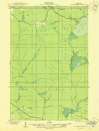
BRUNEAU CREEK, MI HISTORICAL MAP GEOPDF 7.5X7.5 GRID 31680-SCALE 1938
Aeromagnetic map of the Bruneau Creek quadrangle, Keweenaw County, Michigan