


Product Details
- Product Number
- 27898
- Series
- I-1765
- Scale
- 1:100,000
- Alternate ID
- GI1765D
- ISBN
- 978-0-607-78899-0
- Authors
- GUALTIERI, J. L.
- Version Date
- 01/01/1988
- Regions
- CO, UT
- Countries
- USA
- Media
- Paper
- Format
- Folded
Additional Details
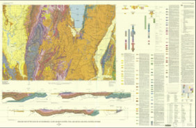
- Description
- Geologic map of the Westwater 30' x 60' Quadrangle, Grand and Uinta counties, Utah and Garfield and Mesa counties, Colorado
- Survey Date
- 1988
- Print Date
- 1988
- Boundary Type
- Quadrangle
- Two Sided
- No
- Pieces
- 1
- Languages
- English
Related Items
Geologic map of the East Portal Quadrangle, Boulder, Gilpin, and Grand counties, Colorado
Geologic map of the Price 30' x 60' Quadrangle, Carbon, Duchesne, Uinta, Utah and Wasatch counties, Utah
Geologic map of the Logan 30' x 60' Quadrangle, Cache and Rich counties, Utah, and Lincoln and Uinta counties, Wyoming