


Product Details
- Product Number
- 23900
- Series
- GQ-817
- Scale
- 1:62,500
- Alternate ID
- GGQ0817D
- ISBN
- 978-0-607-74847-5
- Authors
- PIERCE, WILLIAM GAMEWELL
- Version Date
- 01/01/1970
- Regions
- WY
- Countries
- USA
- Media
- Paper
- Format
- Flat
- Digital Reproduction
- Yes
Additional Details
- Description
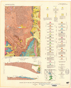
- Geologic map of the Devils Tooth quadrangle, Park County, Wyoming
- Survey Date
- 1967
- Print Date
- 1970
- Height In Inches
- 33.490
- Length In Inches
- 26.500
- Boundary Type
- Quadrangle
- Two Sided
- No
- Pieces
- 1
- Languages
- English
Related Items

Geologic map of the Deep Lake quadrangle, Park County, Wyoming

Geologic map of the Pat O'Hara Mountain quadrangle, Park County, Wyoming