Product Details
- Product Number
- 208902
- Series
- FS-2009-3010
- Scale
- NO SCALE
- Alternate ID
- FS2009-3010
- Authors
- MARK R NEWELL
- Version Date
- 02/01/2009
- Countries
- USA
- Media
- Paper
- Format
- Folded
Additional Details
- Description
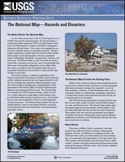
- Federal, State, and local response and management personnel must have current, reliable, and easily accessible geographic information and maps to prepare for, respond to, or recover from emergency situations. In life-threatening events, such as earthquakes, floods, or wildland fires, geographic information is essential for locating critical infrastructure and carrying out evacuation and rescue operations. The USGS promotes partnerships to ensure that base map data are up to date, readily available, and shareable among local, state, and National users. The National Map enables other government agencies, private industry, and the public to link and share additional data that provide even more information. These efforts with state and local governments have helped standardize the data by reducing data inconsistencies between neighboring jurisdictions and will help fill in the gaps for those places where data are lacking.
- Survey Date
- 2009
- Print Date
- 2009
- Height In Inches
- 11.000
- Length In Inches
- 8.500
- Two Sided
- Yes
- Pieces
- 1
- Languages
- English
Related Items


