

Product Details
- Product Number
- 207191
- Series
- SIM-2869
- Scale
- 1:100,000
- Alternate ID
- SIM2869
- ISBN
- 978-0-607-99056-0
- Authors
- LAUREL WOODRUFF G
- Version Date
- 01/01/2006
- Regions
- WI, MN
- Countries
- USA
- Media
- Paper
- Format
- Folded
Additional Details
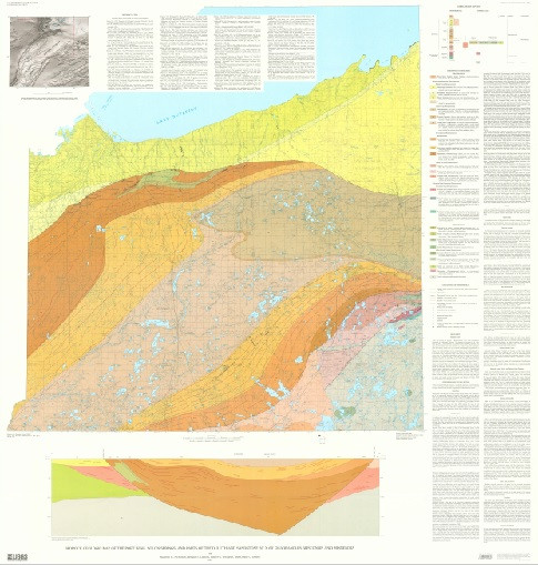
- Description
- Bedrock geologic map of the Port Wing, Solon Springs, and parts of the Duluth and Sandstone 30'x 60' quadrangles, Wisconsin and Minnesota
- Survey Date
- 2006
- Print Date
- 2006
- Height In Inches
- 58.570
- Length In Inches
- 53.650
- Boundary Type
- Quadrangle
- Two Sided
- No
- Pieces
- 1
- Languages
- English
Related Items

Bedrock geologic map of the Montpelier and Barre West quadrangles, Washington and Orange Counties, Vermont
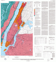
BEDROCK AND ENGINEERING GEOLOGIC MAPS OF NEW YORK COUNTY AND PARTS OF KINGS AND QUEENS COUNTIES, NEW YORK AND PARTS OF BERGEN AND HUDSON COUNTIES, NEW JERSEY SHEET 2 OF 2
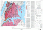
BEDROCK AND ENGINEERING GEOLOGIC MAPS OF BRONX COUNTY AND PARTS OF NEW YORK AND QUEENS COUNTIES, NEW YORK SHEET 2 OF 2