
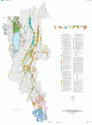

Product Details
- Product Number
- 205894
- Series
- SIM-2890-2
- Scale
- 1:50,000
- Alternate ID
- SIM2890-2
- Version Date
- 01/01/2005
- Regions
- WY, UT, ID
- Countries
- USA
- Media
- Paper
- Format
- Flat
Additional Details
- Description
- SIM2890-2 (SHEET 2)
- Survey Date
- 2006
- Print Date
- 2006
- Height In Inches
- 66.000
- Length In Inches
- 54.000
- Two Sided
- No
- Pieces
- 1
Related Items
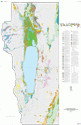
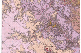
Surficial Geologic Map of the Upper Bear River and Bear Lake Drainage Basins, Idaho, Utah, and Wyoming

Quality of surface water in the Bear River basin, Utah, Wyoming, and Idaho
Prepared in cooperation with the National Park Service <p> <p> Bedrock Geologic Map of the Spring Valley, West Plains, and Parts of the Piedmont and Poplar Bluff 30'X60' Quadrangles, Missouri, Including the Upper Current River and Eleven Point River Drainage Basins. <p>