

Product Details
- Product Number
- 205707
- Series
- SIM-2873
- Scale
- 1:200,000
- Alternate ID
- SIM2873
- ISBN
- 9791411306577
- Authors
- SMALL TED A
- Version Date
- 01/01/2005
- Regions
- TX
- Countries
- USA
- Media
- Paper
- Format
- Flat
- Digital Reproduction
- Yes
Additional Details
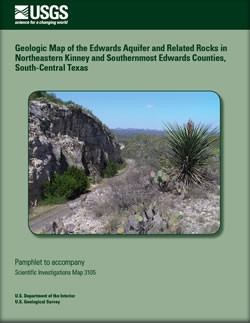
- Description
- http://pubs.usgs.gov/sim/2005/2873/
- Survey Date
- 2005
- Print Date
- 2005
- Height In Inches
- 39.500
- Length In Inches
- 55.750
- Two Sided
- No
- Pieces
- 1
- Languages
- English
Related Items
Geologic Map of the Edwards Aquifer and Related Rocks in Northeastern Kinney and Southernmost Edwards Counties, South-Central Texas

Vulnerability of ground water to contamination, Edwards aquifer recharge zone, Bexar County, Texas, 1998
Three dimensional geologic framework modeling of faulted hydrostratigraphic units within the Edwards aquifer, northern Bexar county, Texas