Product image not found

GREAT SOUTH CHANNEL, WESTERN GEORGES BAN

$10.00
Available

Product Details

Product Number
113823
Series
I-2698
Scale
NO SCALE
Alternate ID
I2698
Authors
PAGE C VALENTINE
Version Date
01/01/2002
Countries
USA
Media
Internet File (Downloadable)
Format
CD-ROM

Additional Details

Description
MAPS SHOWING SEA FLOOR TOPOGRAPHY, SUN-ILLUMINATED SEA FLOOR TOPOGRAPHY, AND BACKSCATTER INTENSITY OF QUADRANGLES 1 AND 2 IN THE GREAT SOUTH CHANNEL REGION, WESTERN GEORGES BANK
Survey Date
2002
Print Date
2002
Pieces
1
Related Items
GEORGES BANK-SEA FLOOR TOPO, US
Maps showing the sea-floor topography of eastern Georges Bank
SEA FLOOR IMAGE MAPS OFF BOSTON, MA
Sea floor Image Maps showing Topography, Sun-Illuminated Topography, Backscatter Intensity, Ruggedness, Slope, and the Distribution of Boulder Ridges and Bedrock Outcrops in the Stellwagen Bank National Marine Sanctuary Region off Boston, Massachusetts
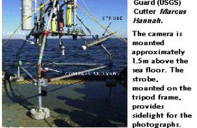
WESTERN MASSACHUSETTS BAY PHOTO 99-2002
Time-series photographs of the sea floor in western Massachusetts Bay; May to September 1999; May to September 2000; and October 2001 to February 2002