
- Added SEBOOMOOK LAKE WEST, ME to cart. View cart.
- Added CHEQUAMEGON-NICOLET NF - WEST SIDE, WI to cart. View cart.
- Added SWAN POINT, MD to cart. View cart.
- Added TRAPPE, MD HISTORICAL MAP GEOPDF 7.5X7.5 to cart. View cart.
- Added PENOBSCOT, ME to cart. View cart.
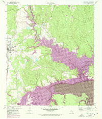
- Added TRINITY EAST, TX to cart. View cart.


Product Details
- Product Number
- 305290
- Scale
- 1:24,000
- Version Date
- 01/01/1960
- Regions
- TX
- Countries
- USA
- Media
- Paper
- Format
- Flat
Additional Details
- Description
- TRINITY EAST, TX HISTORICAL MAP GEOPDF 7.5X7.5 GRID 24000-SCALE 1960
- Survey Date
- 1960
- Print Date
- 1968
- Height In Inches
- 27.000
- Length In Inches
- 23.100
- Boundary Type
- Quadrangle
- Pieces
- 1
Related Items
TRINITY EAST, TX HISTORICAL MAP GEOPDF 7.5X7.5 GRID 24000-SCALE 1960
