
- Added FIREBAUGH NE, CA to cart. View cart.
- Added TRI DECADAL GLOBAL LANDSAT ORTHORECT, ID to cart. View cart.
- Added EARTH AS ART 3 (EAA) LAKE EYRE to cart. View cart.
- Added ABRAMS, WI HISTORICAL MAP GEOPDF 7.5X7.5 to cart. View cart.
- Added HARTFORD EAST, WI HISTORICAL MAP GEOPDF to cart. View cart.
- Added UNITED STATES MAG ANO SHEET 1, US to cart. View cart.
- Added ILIAMNA D-7 SW, AK to cart. View cart.
- Added POPLAR NE, WI to cart. View cart.
- Added YELLOWSTONE LAKE, WI to cart. View cart.
- Added ANCHORAGE B-2, AK to cart. View cart.
- Added DIXON ENTRANCE D-2, AK to cart. View cart.
- Added BURLEY, ID to cart. View cart.
- Added SPRING CREEK, TX to cart. View cart.
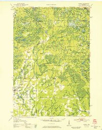
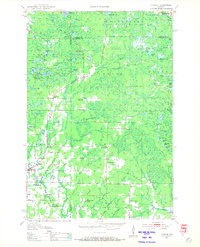
- Added PARRISH, WI HISTORICAL MAP GEOPDF 15X15 to cart. View cart.

Product Details
- Product Number
- 927800
- Scale
- 1:48,000
- Version Date
- 01/01/1952
- Regions
- WI
- Countries
- USA
- Media
- Paper
- Format
- Flat
- Digital Reproduction
- Yes
Additional Details
- Description
- PARRISH, WI HISTORICAL MAP GEOPDF 15X15 GRID 48000-SCALE 1952
- Survey Date
- 1952
- Print Date
- 1952
- Boundary Type
- Quadrangle
- Pieces
- 1
Related Items
PARRISH, WI HISTORICAL MAP GEOPDF 15X15 GRID 48000-SCALE 1940
PARRISH, WI HISTORICAL MAP GEOPDF 15X15 GRID 48000-SCALE 1950
