
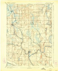
Added SHOPPIERE, WI HISTORICAL MAP GEOPDF 15X1 to cart. View cart.

Product Details
- Product Number
- 927539
- Scale
- 1:62,500
- Version Date
- 01/01/1890
- Regions
- WI
- Countries
- USA
- Media
- Paper
- Format
- Flat
- Digital Reproduction
- Yes
Additional Details
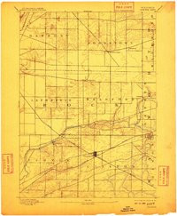
- Description
- STOUGHTON, WI HISTORICAL MAP GEOPDF 15X15 GRID 62500-SCALE 1890
- Survey Date
- 1890
- Print Date
- 1934
- Boundary Type
- Quadrangle
- Pieces
- 1
Related Items
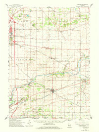
SUN PRAIRE, WI HISTORICAL MAP GEOPDF 15X15 GRID 62500-SCALE 1890
SHOPPIERE, WI HISTORICAL MAP GEOPDF 15X15 GRID 62500-SCALE 1893
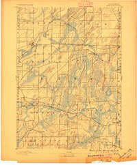
SHOPPIERE, WI HISTORICAL MAP GEOPDF 15X15 GRID 62500-SCALE 1961