

Product Details
- Product Number
- 927452
- Scale
- 1:62,500
- Version Date
- 01/01/1961
- Media
- Paper
- Format
- Flat
- Digital Reproduction
- Yes
Additional Details
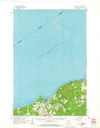
- Description
- PORT WING, WI-MN HISTORICAL MAP GEOPDF 15X15 GRID 62500-SCALE 1961
- Survey Date
- 1961
- Print Date
- 1963
- Boundary Type
- Quadrangle
- Pieces
- 1
Related Items
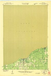
PORT WING, WI-MN HISTORICAL MAP GEOPDF 15X15 GRID 48000-SCALE 1946
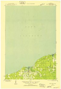
PORT WING, WI-MN HISTORICAL MAP GEOPDF 15X15 GRID 48000-SCALE 1943
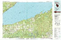
PORT WING, WI-MN HISTORICAL MAP GEOPDF 30X60 GRID 100000-SCALE 1980