

Product Details
- Product Number
- 921289
- Scale
- 1:24,000
- Version Date
- 01/01/1966
- Media
- Paper
- Format
- Flat
- Digital Reproduction
- Yes
Additional Details
- Description
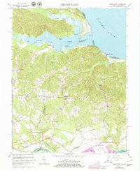
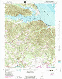
- PASSAPATANZY, VA-MD HISTORICAL MAP GEOPDF 7.5X7.5 GRID 24000-SCALE 1966
- Survey Date
- 1966
- Print Date
- 1979
- Boundary Type
- Quadrangle
- Pieces
- 1
Related Items
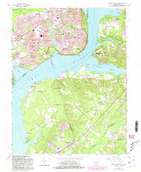
MOUNT VERNON, VA-MD HISTORICAL MAP GEOPDF 7.5X7.5 GRID 24000-SCALE 1966

EASTVILLE, VA-NC-MD HISTORICAL MAP GEOPDF 2X1 GRID 250000-SCALE 1966
PASSAPATANZY, VA-MD HISTORICAL MAP GEOPDF 7.5X7.5 GRID 24000-SCALE 1966