

Product Details
- Product Number
- 922161
- Scale
- 1:250,000
- Version Date
- 01/01/1953
- Media
- Paper
- Format
- Flat
- Digital Reproduction
- Yes
Additional Details
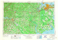
- Description
- NORFOLK, VA-NC HISTORICAL MAP GEOPDF 1X2 GRID 250000-SCALE 1953
- Survey Date
- 1953
- Print Date
- 1973
- Boundary Type
- Quadrangle
- Pieces
- 1
Related Items
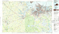
NORFOLK, VA-NC HISTORICAL MAP GEOPDF 30X60 GRID 100000-SCALE 1985
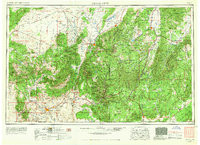
CEDAR CITY, UT-AZ HISTORICAL MAP GEOPDF 1X2 GRID 250000-SCALE 1953
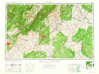
ROANOKE, VA-WV HISTORICAL MAP GEOPDF 1X2 GRID 250000-SCALE 1963