
Added POCAHONTAS, VA-WV HISTORICAL MAP GEOPDF to cart. View cart.

Product Details
- Product Number
- 922117
- Scale
- 1:125,000
- Version Date
- 01/01/1894
- Media
- Paper
- Format
- Flat
- Digital Reproduction
- Yes
Additional Details
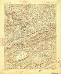
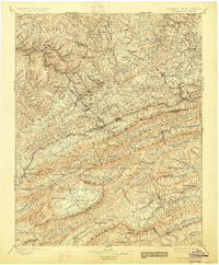
- Description
- POCAHONTAS, VA-WV HISTORICAL MAP GEOPDF 30X30 GRID 125000-SCALE 1894
- Survey Date
- 1894
- Print Date
- 1894
- Boundary Type
- Quadrangle
- Pieces
- 1
Related Items
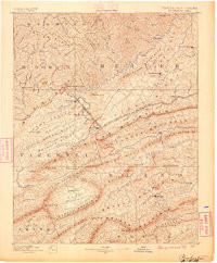
POCAHONTAS, VA-WV HISTORICAL MAP GEOPDF 30X30 GRID 125000-SCALE 1895
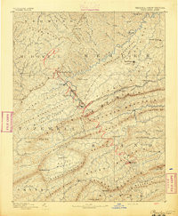
POCAHONTAS, VA-WV HISTORICAL MAP GEOPDF 30X30 GRID 125000-SCALE 1887
POCAHONTAS, VA-WV HISTORICAL MAP GEOPDF 30X30 GRID 125000-SCALE 1891