
- Added DIGITAL DATA, 1995 NAT ASSMNT, US to cart. View cart.
- Added GEOCHEMISTRY DIAGENESIS GULF OF MEXICO to cart. View cart.
- Added CORE DESCRIPTIONS, CORE PHOTOGRAPHS, to cart. View cart.
- Added LEADER SW, CO to cart. View cart.
- Added LEADER, CO HISTORICAL MAP GEOPDF 7.5X7.5 to cart. View cart.
- Added MITTEN PEAK, AZ to cart. View cart.
- Added MONROE CITY, IN to cart. View cart.
- Added NELSON COUNTY - GRND WAT RES, ND to cart. View cart.
- Added CEDAR CITY W, UT-AZ HISTORICAL MAP GEOPD to cart. View cart.

Product Details
- Product Number
- 919932
- Scale
- 1:250,000
- Version Date
- 01/01/1891
- Media
- Paper
- Format
- Flat
- Digital Reproduction
- Yes
Additional Details
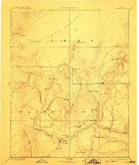
- Description
- CEDAR CITY W, UT-AZ HISTORICAL MAP GEOPDF 1X1 GRID 250000-SCALE 1891
- Survey Date
- 1891
- Print Date
- 1908
- Boundary Type
- Quadrangle
- Pieces
- 1
Related Items
CEDAR CITY W, UT-AZ HISTORICAL MAP GEOPDF 1X1 GRID 250000-SCALE 1885
CEDAR CITY E, UT-AZ HISTORICAL MAP GEOPDF 1X1 GRID 250000-SCALE 1886
CEDAR CITY, UT-AZ HISTORICAL MAP GEOPDF 1X2 GRID 250000-SCALE 1953