- Added NESCATUNGA CREEK NORTH, KS to cart. View cart.
- Added NICKERSON, KS to cart. View cart.
- Added NORTH OF SHIRLEY CREEK, KS to cart. View cart.
- Added OWEN, IN-KY to cart. View cart.
- Added MONROE, OR HISTORICAL MAP GEOPDF 7.5X7.5 to cart. View cart.
- Added OLATHE, KS HISTORICAL MAP GEOPDF 7.5X7.5 to cart. View cart.
- Added ONEIDA, KY HISTORICAL MAP GEOPDF 7.5X7.5 to cart. View cart.
- Added PARK CITY, KY to cart. View cart.
- Added WILD HORSE LAKE, KS to cart. View cart.
- Added DODGE CITY, KS-OK to cart. View cart.
- Added GLENSBORO, KY to cart. View cart.
- Added MIDDLE LADDER CREEK WEST, KS to cart. View cart.
- Added WAVERLY, KS to cart. View cart.
- Added EDWARDS COUNTY, IL to cart. View cart.
- Added MIDLAND, KS to cart. View cart.
- Added KANONA NW, KS to cart. View cart.
- Added GUSTON, KY to cart. View cart.
- Added GREENSBURG, KY to cart. View cart.
- Added KANONA, KS to cart. View cart.
- Added JUNIATA COUNTY WEST, PA to cart. View cart.
Product Details
- Product Number
- 91649
- Scale
- 1:50,000
- Alternate ID
- TPA1365
- ISBN
- 978-0-607-46790-1
- Version Date
- 01/01/1986
- Regions
- PA
- Countries
- USA
- Media
- Paper
- Format
- Flat
Additional Details
- Description
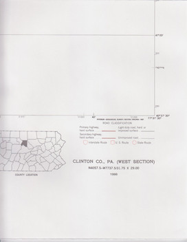
- CLINTON COUNTY WEST, PA
- Survey Date
- 1986
- Print Date
- 1987
- Boundary Type
- Political Unit
- Two Sided
- No
- Pieces
- 1
- Languages
- English
Related Items