
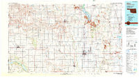

Product Details
- Product Number
- 900934
- Scale
- 1:100,000
- Version Date
- 01/01/1985
- Media
- Paper
- Format
- Flat
- Digital Reproduction
- Yes
Additional Details
- Description
- ALTUS, OK-TX HISTORICAL MAP GEOPDF 30X60 GRID 100000-SCALE 1985
- Survey Date
- 1985
- Print Date
- 1990
- Boundary Type
- Quadrangle
- Pieces
- 1
Related Items
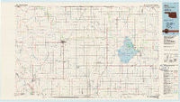
ALVA, OK-KS HISTORICAL MAP GEOPDF 30X60 GRID 100000-SCALE 1985
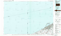
ERIE, PA-OH HISTORICAL MAP GEOPDF 30X60 GRID 100000-SCALE 1985
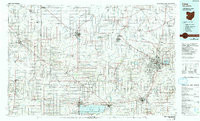
LIMA, OH-IN HISTORICAL MAP GEOPDF 30X60 GRID 100000-SCALE 1986