

Product Details
- Product Number
- 899439
- Scale
- 1:250,000
- Version Date
- 01/01/1961
- Media
- Paper
- Format
- Flat
- Digital Reproduction
- Yes
Additional Details
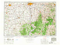
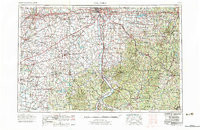
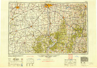
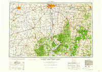
- Description
- COLUMBUS, OH-WV HISTORICAL MAP GEOPDF 1X2 GRID 250000-SCALE 1961
- Survey Date
- 1961
- Print Date
- 1961
- Boundary Type
- Quadrangle
- Pieces
- 1
Related Items
COLUMBUS, OH-WV HISTORICAL MAP GEOPDF 1X2 GRID 250000-SCALE 1967
COLUMBUS, OH-WV HISTORICAL MAP GEOPDF 1X2 GRID 250000-SCALE 1947
COLUMBUS, OH-WV HISTORICAL MAP GEOPDF 1X2 GRID 250000-SCALE 1962