- Added REED, KY-IN to cart. View cart.
- Added DODDRIDGE NE, AR to cart. View cart.
- Added CITADEL PLATEAU, CO to cart. View cart.
- Added BENHAM, KY-VA HISTORICAL MAP GEOPDF 7.5X to cart. View cart.
- Added JUNEAU C-3 SW, AK to cart. View cart.
- Added DAVIS CROSSROADS, AL to cart. View cart.
- Added MAUMEE, OH HISTORICAL MAP GEOPDF 7.5X7.5 to cart. View cart.


Product Details
- Product Number
- 352074
- Scale
- 1:24,000
- Version Date
- 01/01/1964
- Regions
- OH
- Countries
- USA
- Media
- Paper
- Format
- Flat
Additional Details
- Description
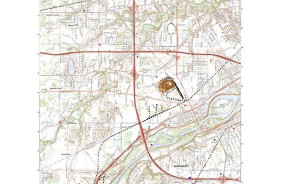
- MAUMEE, OH HISTORICAL MAP GEOPDF 7.5X7.5 GRID 24000-SCALE 1964
- Survey Date
- 1935
- Print Date
- 1969
- Height In Inches
- 26.900
- Length In Inches
- 22.000
- Boundary Type
- Quadrangle
- Pieces
- 1
Related Items
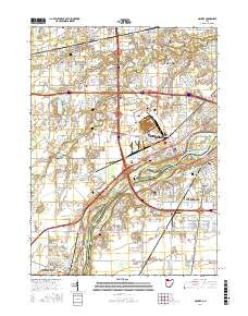
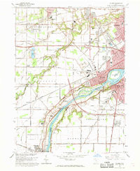
MAUMEE, OH HISTORICAL MAP GEOPDF 7.5X7.5 GRID 24000-SCALE 1964