- Added LITTLE FISH LAKE, NV to cart. View cart.
- Added RILEYVILLE, VA HISTORICAL MAP GEOPDF 7.5 to cart. View cart.
- Added FLAG POND, TN-NC to cart. View cart.
- Added TACOMA SOUTH, WA to cart. View cart.
- Added SEATTLE SOUTH, WA to cart. View cart.
- Added CHARDON, OH HISTORICAL MAP GEOPDF 7.5X7. to cart. View cart.

Product Details
- Product Number
- 898093
- Scale
- 1:24,000
- Version Date
- 01/01/1966
- Regions
- OH
- Countries
- USA
- Media
- Paper
- Format
- Flat
- Digital Reproduction
- Yes
Additional Details
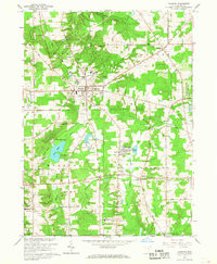
- Description
- CHARDON, OH HISTORICAL MAP GEOPDF 7.5X7.5 GRID 24000-SCALE 1966
- Survey Date
- 1966
- Print Date
- 1968
- Boundary Type
- Quadrangle
- Pieces
- 1
Related Items
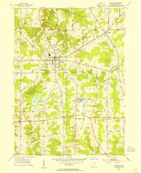
CHARDON, OH HISTORICAL MAP GEOPDF 7.5X7.5 GRID 24000-SCALE 1953
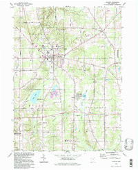
CHARDON, OH HISTORICAL MAP GEOPDF 7.5X7.5 GRID 24000-SCALE 1994